Become A Member
Home
News & Newsletters
Important Links
Upcoming Events
Donate
Contact
Who We Are
About Us
Board Members
What We Do
Advocacy & Policy
Scholarships
Dry Run Creek Academy
Seen on the Trail
Our Watersheds
Get Involved
friendsoftherivers22@gmail.com
P.O. Box 61
Mountain Home, AR
72654
Follow Us
Home
News & Newsletters
Important Links
Upcoming Events
Donate
Contact
Who We Are
About Us
Board Members
What We Do
Advocacy & Policy
Scholarships
Dry Run Creek Academy
Seen on the Trail
Our Watersheds
Get Involved
Become A Member
Our Watersheds
Watersheds and Watershed Approach
Learn More
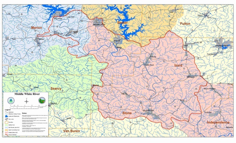
Middle White River Management Plan
Learn More
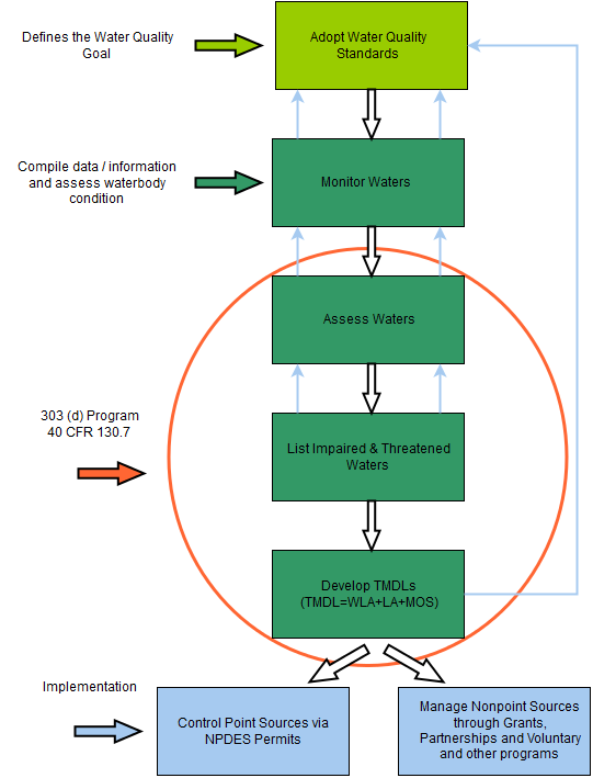
What are Impaired Waters?
Learn More
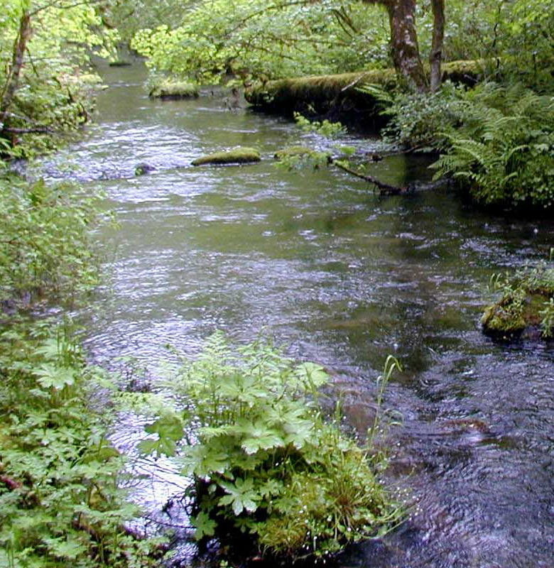
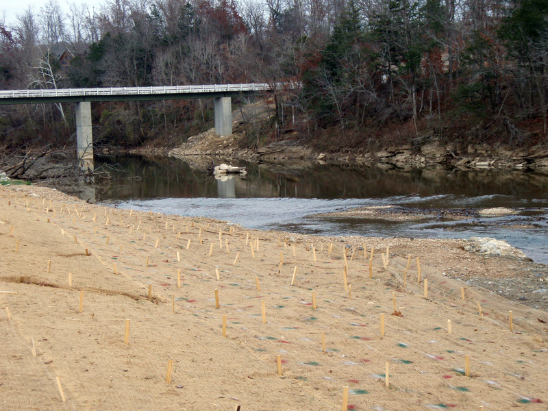
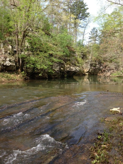
Dry Run Creek - Baxter County
Learn More
Crooked Creek - Marion, Boone County
Learn More
Buffalo River - Marion, Searcy, Newton Counties
Learn More
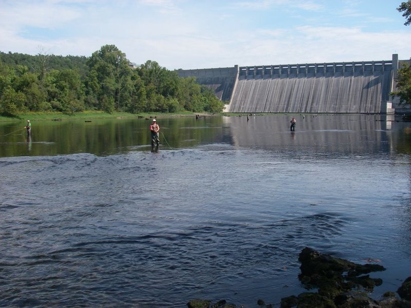
The White River Tailwaters - Marion, Baxter Counties
Learn More
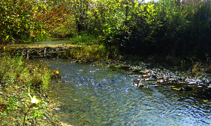
Piney Creek - Izard County
Learn More
Stone County
Learn More
Independence County
Learn More